




10.770/Monat
Eine API und ein MCP-Server fuer belegte Geodaten der physischen Welt in KI-Agenten
AI APIRedaktionswert: 4.4Freemium, Preise auf Anfrage+13,9 %
Vergleiche KI-Produkte für 459 Workflows anhand von Traffic-Schätzungen, Funktionen und Alternativen.
“Geocoding” · Forschung & Datenanalyse·35 Ergebnisse
Neu startenEine API und ein MCP-Server fuer belegte Geodaten der physischen Welt in KI-Agenten

Proxies und Webdaten-APIs für Scraping und KI-Pipelines
Proxies und Webdaten-APIs für Scraping und KI-Pipelines
Google-Maps-Unternehmensleads scrapen und als CSV, Excel oder JSON exportieren
Google-Maps-Unternehmensleads scrapen und als CSV, Excel oder JSON exportieren

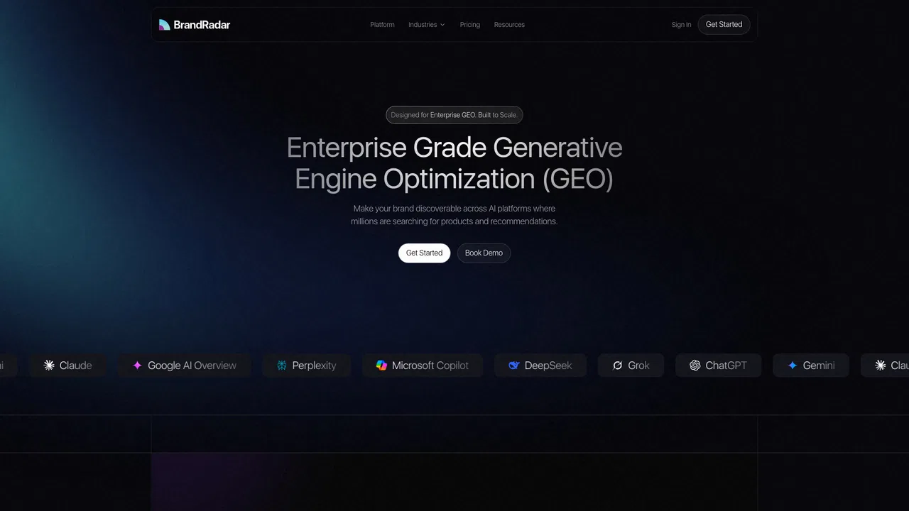
Verfolge, wie KI-Assistenten deine Marke nennen, einordnen und zitieren
Verfolge, wie KI-Assistenten deine Marke nennen, einordnen und zitieren

Entwickler-API für US-Immobiliendaten, Bewertungen und Adressverifizierung
Entwickler-API für US-Immobiliendaten, Bewertungen und Adressverifizierung
Google-Maps-Unternehmensdaten per Klick scrapen und Leads als CSV exportieren
Google-Maps-Unternehmensdaten per Klick scrapen und Leads als CSV exportieren

Extrahieren Sie lokale B2B-Leads, E-Mails und Telefonnummern aus Google Maps ohne Programmierung
Extrahieren Sie lokale B2B-Leads, E-Mails und Telefonnummern aus Google Maps ohne Programmierung

Spatial AI, die Scans der physischen Welt in 3D-Modelle, Grundrisse und BIM-Daten verwandelt
Spatial AI, die Scans der physischen Welt in 3D-Modelle, Grundrisse und BIM-Daten verwandelt
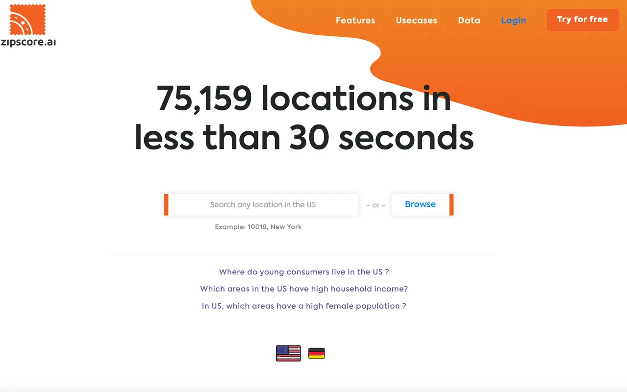
Zipscore AI is a location-data platform that helps marketers, analysts and planners find high-potential US ZIP codes by exploring demographic segments, census data and points of interest on fast, interactive maps.
Zipscore AI is a location-data platform that helps marketers, analysts and planners find high-potential US ZIP codes by exploring demographic segments, census data and points of interest on fast, interactive maps.
Echtzeit-Websuche und Retrieval-APIs für KI-Agenten

Sofortige Gebietsrecherche für jede britische Postleitzahl
Sofortige Gebietsrecherche für jede britische Postleitzahl
KI-Standortauswahl und Umsatzprognose, bevor der Mietvertrag unterschrieben wird
KI-Standortauswahl und Umsatzprognose, bevor der Mietvertrag unterschrieben wird

Verhaltensbasierte Konsumentensegmentierung für Retail-Marketer
Verhaltensbasierte Konsumentensegmentierung für Retail-Marketer

xyzt.ai is a no-code cloud platform for visualizing and analyzing large spatio-temporal datasets — traffic, mobility, maritime, and IoT data — with interactive dashboards and an AI copilot for natural-language queries.
xyzt.ai is a no-code cloud platform for visualizing and analyzing large spatio-temporal datasets — traffic, mobility, maritime, and IoT data — with interactive dashboards and an AI copilot for natural-language queries.

Claude oder ChatGPT mit echten SEO-Daten verbinden – Keywords, Backlinks und Wettbewerber für jede Website
Claude oder ChatGPT mit echten SEO-Daten verbinden – Keywords, Backlinks und Wettbewerber für jede Website

GEO- und SEO-Agentur, die deine Marke in KI-Antworten empfohlen macht
GEO- und SEO-Agentur, die deine Marke in KI-Antworten empfohlen macht

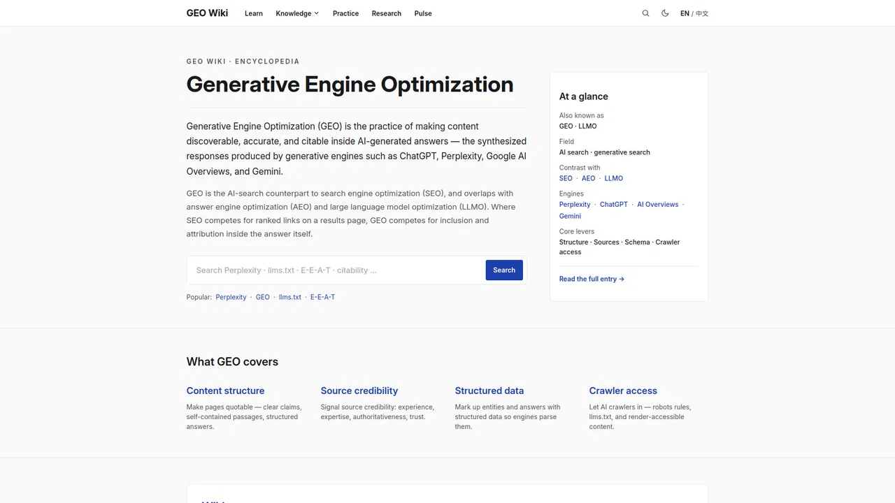
GEO Wiki ist eine kostenlose, zweisprachige offene Enzyklopädie zur Generative Engine Optimization (GEO) – der Praxis, Inhalte in KI-generierten Antworten von Engines wie ChatGPT, Perplexity und Google AI Overviews auffindbar, korrekt und zitierfähig zu machen.
GEO Wiki ist eine kostenlose, zweisprachige offene Enzyklopädie zur Generative Engine Optimization (GEO) – der Praxis, Inhalte in KI-generierten Antworten von Engines wie ChatGPT, Perplexity und Google AI Overviews auffindbar, korrekt und zitierfähig zu machen.

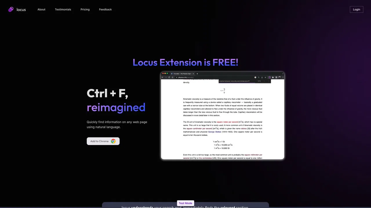
Locus is an AI-powered browser extension that replaces the traditional Ctrl+F with natural-language search. Instead of hunting for exact keywords, you describe what you are looking for and Locus jumps to the relevant section inside web pages and PDFs, then helps you summarize, brainstorm, and build study notes with LLM assistance.
Locus is an AI-powered browser extension that replaces the traditional Ctrl+F with natural-language search. Instead of hunting for exact keywords, you describe what you are looking for and Locus jumps to the relevant section inside web pages and PDFs, then helps you summarize, brainstorm, and build study notes with LLM assistance.

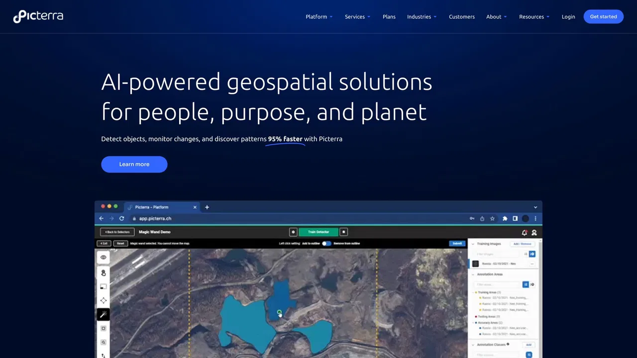
Picterra is a geospatial AI platform that turns satellite imagery into plot-level intelligence for commodity supply chains, covering crop yield risk, deforestation and EUDR compliance, carbon and regenerative agriculture monitoring.
Picterra is a geospatial AI platform that turns satellite imagery into plot-level intelligence for commodity supply chains, covering crop yield risk, deforestation and EUDR compliance, carbon and regenerative agriculture monitoring.
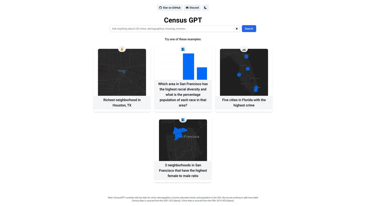
US-Volkszählungsdaten in natürlicher Sprache abfragen und sofort Antworten erhalten.
US-Volkszählungsdaten in natürlicher Sprache abfragen und sofort Antworten erhalten.

KI-fähige Residential-Proxys und Webdaten im großen Maßstab
KI-fähige Residential-Proxys und Webdaten im großen Maßstab

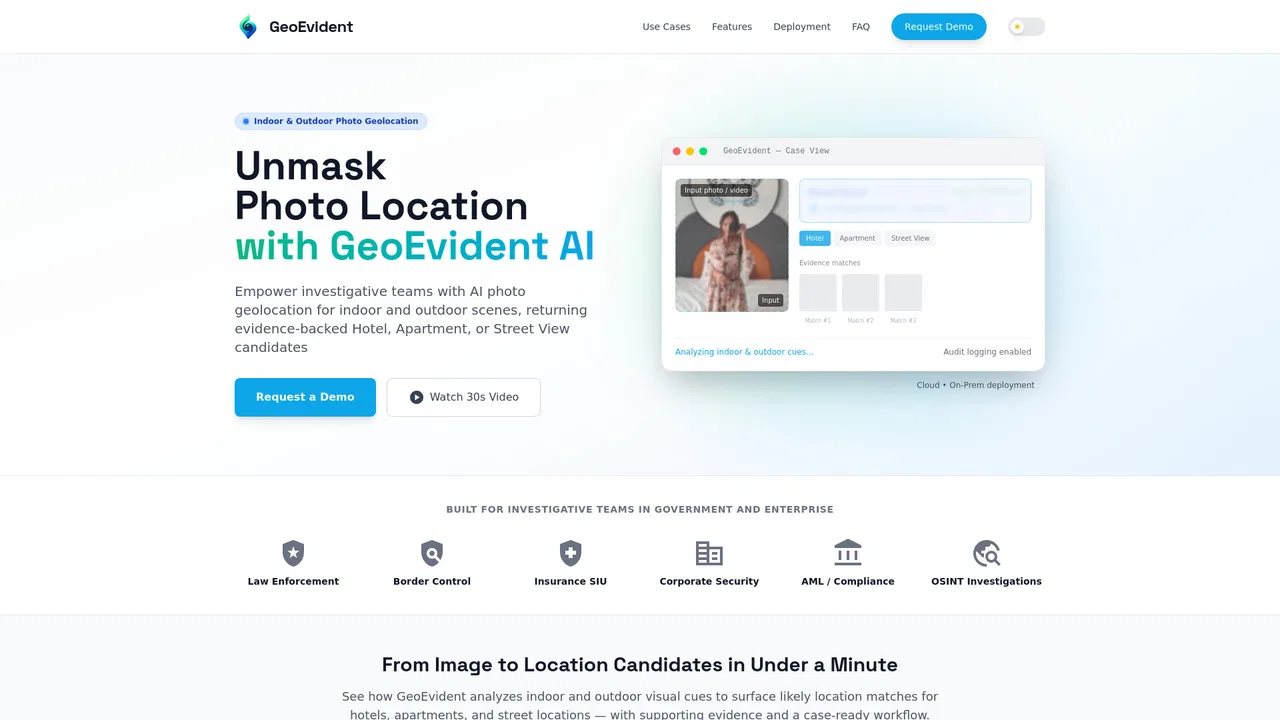
KI-Foto-Geolokalisierung für Ermittlungsteams und belastbare Berichte
KI-Foto-Geolokalisierung für Ermittlungsteams und belastbare Berichte

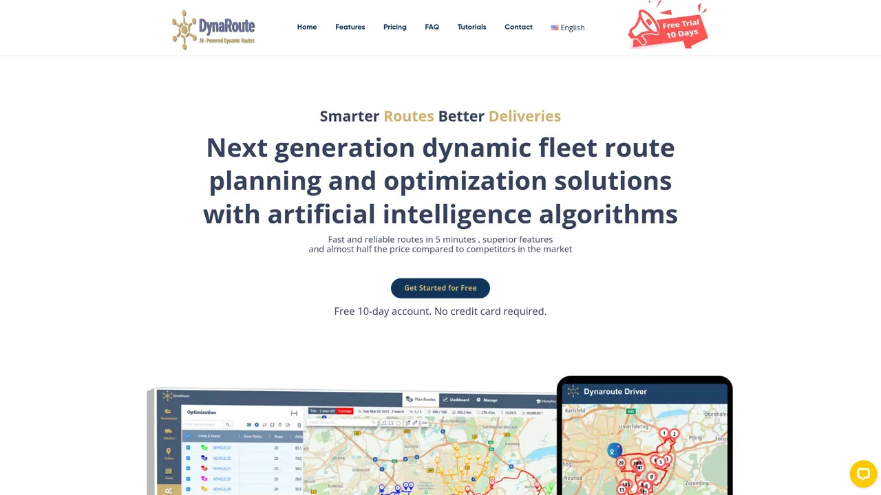
Klügere Routen, niedrigere Betriebskosten, profitablere Abläufe.
Klügere Routen, niedrigere Betriebskosten, profitablere Abläufe.
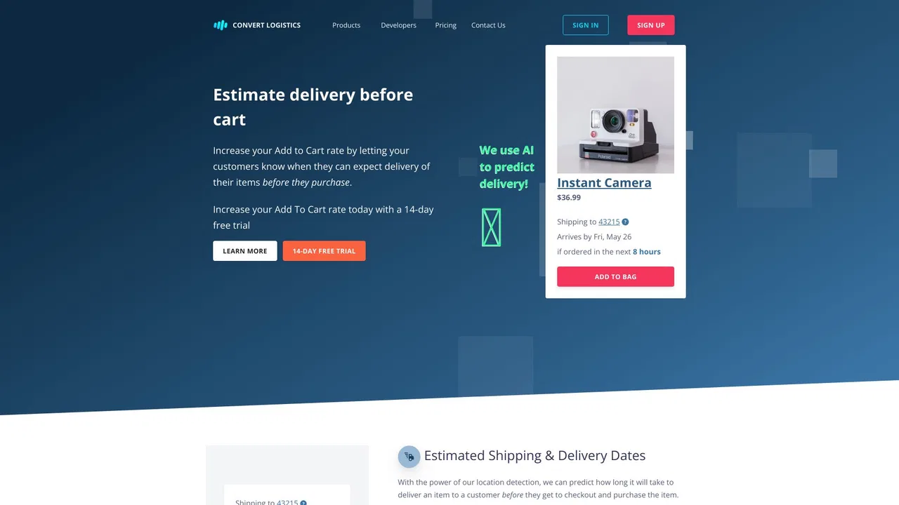
Geschätzte Liefer- und Versandtermine vor dem Checkout anzeigen
Geschätzte Liefer- und Versandtermine vor dem Checkout anzeigen