




로딩 중…
459개 워크플로에서 트래픽 추정치, 기능, 대안을 비교하세요.
“Geocoding” · 이미지 분석 및 인식·결과 12개
처음으로EXIF GPS와 AI 지오로케이션으로 사진 촬영 장소 찾기



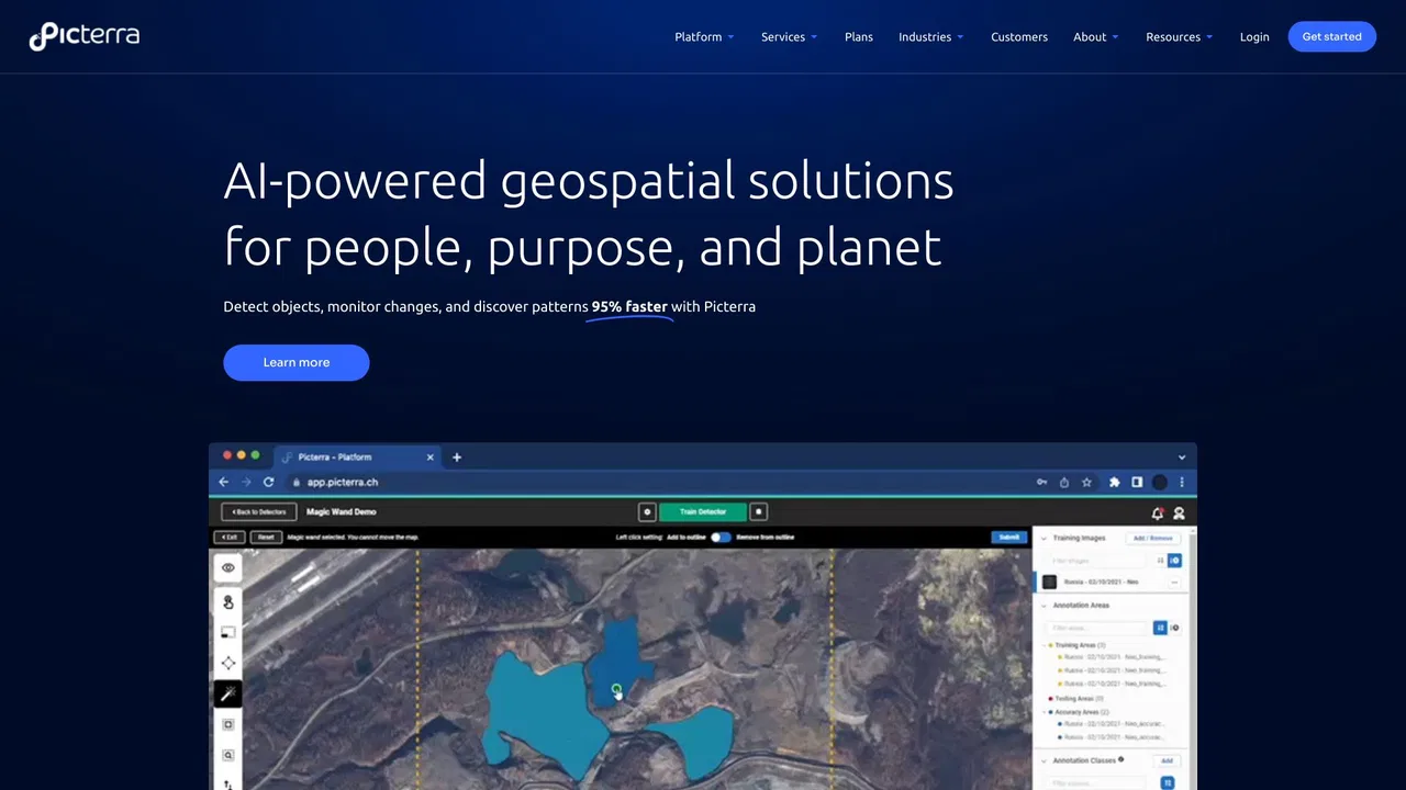
Picterra is a geospatial AI platform that turns satellite imagery into plot-level intelligence for commodity supply chains, covering crop yield risk, deforestation and EUDR compliance, carbon and regenerative agriculture monitoring.

수사팀과 증거 대응 보고서를 위한 AI 사진 지오로케이션

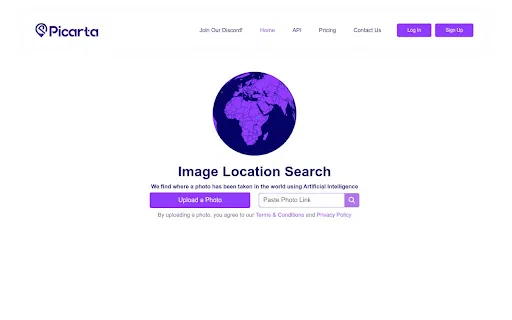
사진을 올리면 AI가 촬영 장소를 추정합니다


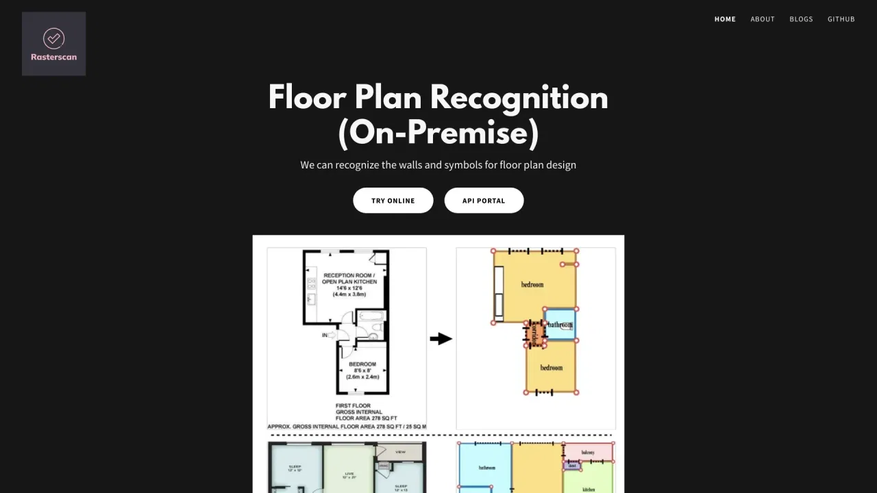
Rasterscan is a computer-vision service that automatically recognises floor plans and technical drawings. It reads walls, doors and windows from blueprints, scans and hand-sketches, converts them into structured, machine-readable geometry, and exposes the result through an API or an on-premise installation for developers and building-software teams.
Rasterscan is a computer-vision service that automatically recognises floor plans and technical drawings. It reads walls, doors and windows from blueprints, scans and hand-sketches, converts them into structured, machine-readable geometry, and exposes the result through an API or an on-premise installation for developers and building-software teams.

손상된 이미지·영상 증거에서 사라진 디테일 복원

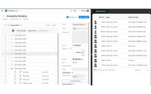
자산 워크플로 안에서 수행하는 3D 형상 검색과 모델 분석