
AI mineral exploration intelligence over the world's largest public exploration dataset
Compare AI products across 459 workflows using traffic estimates, features, and alternatives.
“Geospatial analysis”·163 results
Start overAI mineral exploration intelligence over the world's largest public exploration dataset
AI mineral exploration intelligence over the world's largest public exploration dataset

AI video telematics that turns mobility data into business insight

Glasses-free 3D and spatial AI that bring holographic depth to everyday devices.

An agentic workspace that turns raw business data and product links into campaigns, reports, and decks.

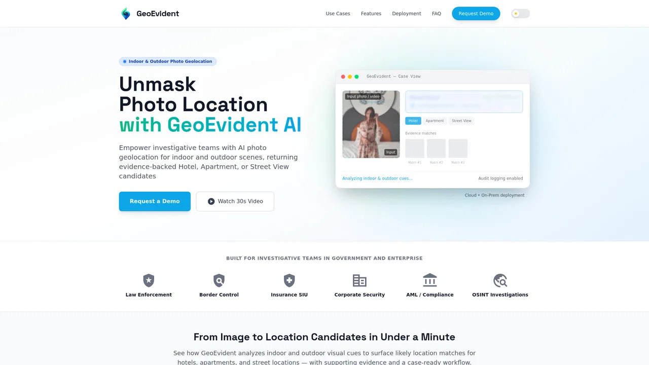
AI photo geolocation built for investigative teams and evidence-ready reports
AI zoning maps and feasibility analysis for land development
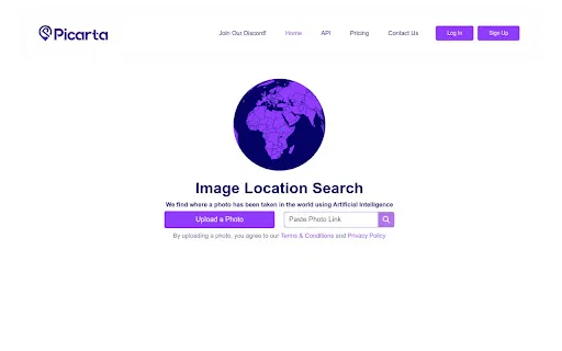
Free AI photo location finder — estimate where any image was taken

Every UK property datapoint in one API call — valuation, EPC, flood risk and more

Ask your Metabase data questions in plain English

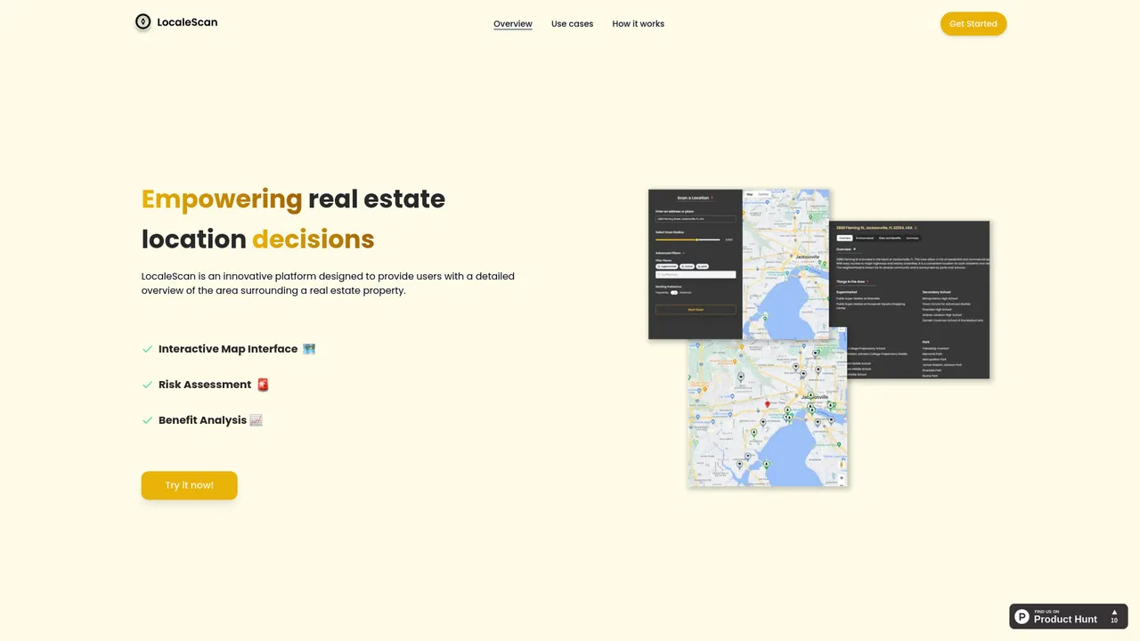
AI-powered location analysis for smarter real-estate decisions

Scan any blog post and turn the places it mentions into an embeddable interactive map in minutes.

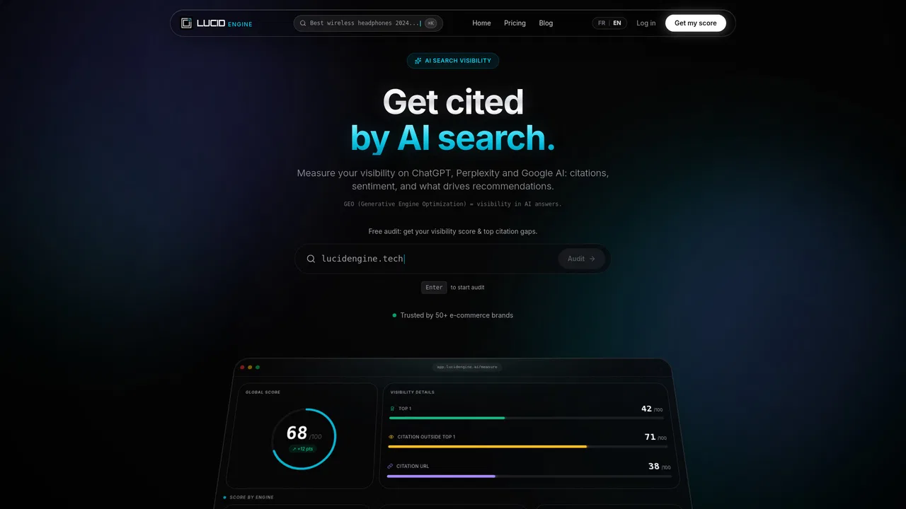
GEO analytics and AI search visibility for B2B SaaS
Turn any photo into a cinematic zoom-out from ground level to outer space


Value, analyse and report on any property from a single map-driven workspace.

Upload a photo and AI predicts where in the world it was taken

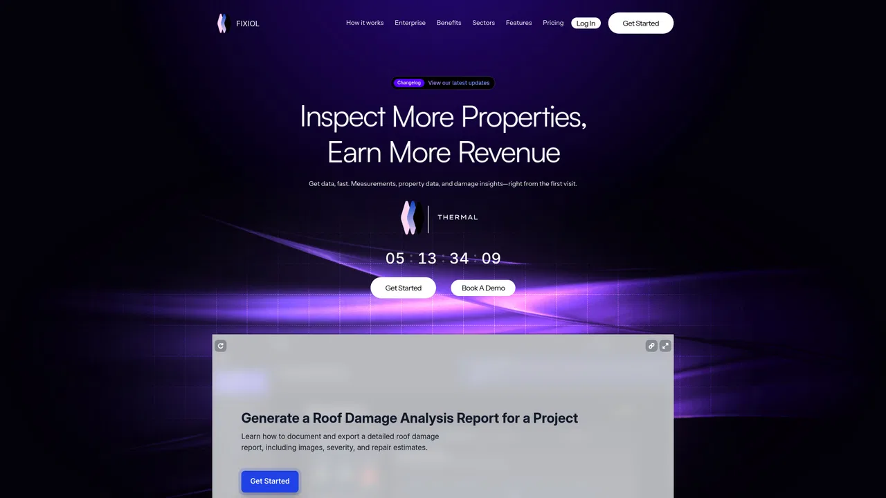
Turn drone roof photos into insurance-ready inspection reports

AI face analysis with every measurement explained

Recover lost detail from degraded image and video evidence

Detect, categorize and count 200+ furniture and household items in any photo

TikTok video ideas that sell, ranked by what buyers say in the comments

Space-powered AI weather intelligence and forecasting API

Find the patterns inside your event sequences

AI analysis workspace that turns UX research data into findings in hours