



EOS Data AnalyticsOfficial
720.8K/mo
Satellite imagery turned into decisions with AI analytics
AI For Data AnalyticsEditorial score: 4.2Contact for Pricing31% direct

Contact for Pricing
Compare AI products across 459 workflows using traffic estimates, features, and alternatives.

“GIS data”·340 results
Start overSatellite imagery turned into decisions with AI analytics
AI site selection and sales forecasting that predicts revenue before you sign a lease
AI site selection and sales forecasting that predicts revenue before you sign a lease
Build powerful forms, surveys and quizzes with AI in minutes

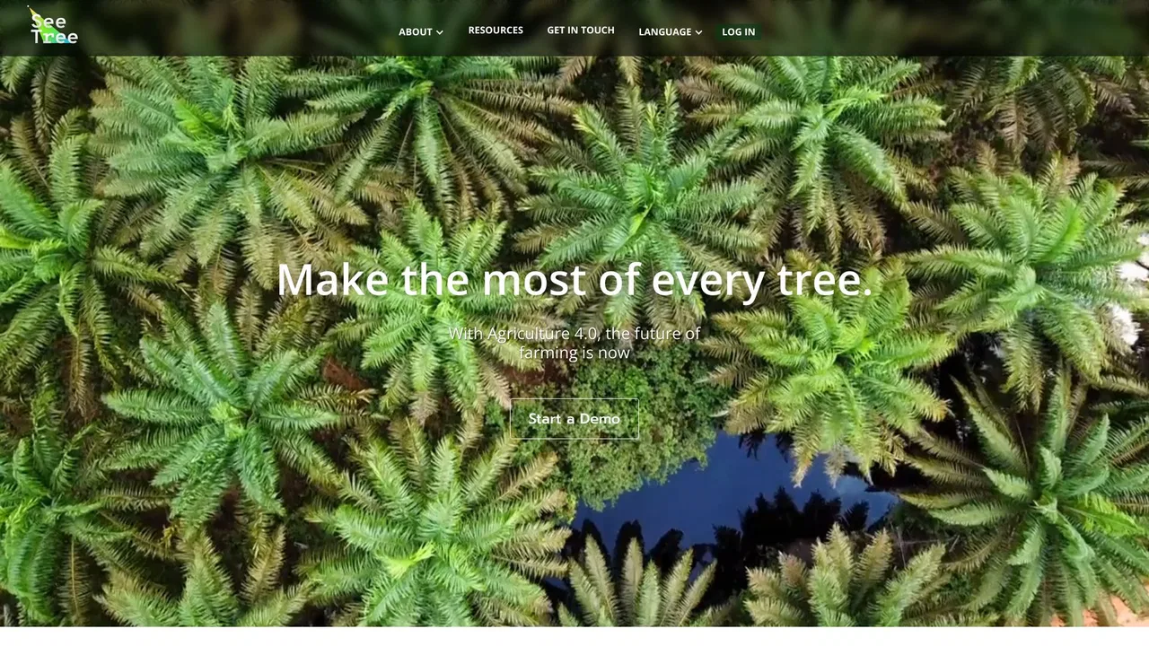
AI yield forecasting and per-tree crop intelligence for agribusiness
AI yield forecasting and per-tree crop intelligence for agribusiness
Turn spreadsheet data into custom choropleth maps and interactive embeds
Turn spreadsheet data into custom choropleth maps and interactive embeds
Build GTM systems that turn data into revenue
Build custom AI agents and support chatbots trained on your own data, across every channel
Build custom AI agents and support chatbots trained on your own data, across every channel

Convert PNG, JPG, and WebP images into clean editable vectors
Convert PNG, JPG, and WebP images into clean editable vectors
Build forms, surveys and quizzes in seconds — with unlimited free responses

Real-time B2B people and company data for AI agents

AI agents that detect, monitor and inspect anything you can see from the sky
AI agents that detect, monitor and inspect anything you can see from the sky

One API and MCP server that gives AI agents cited physical-world and geospatial data
AI-driven market intelligence and trade data for 10,000+ products
AI-driven market intelligence and trade data for 10,000+ products

Proxies and web data APIs for scraping and AI pipelines
Proxies and web data APIs for scraping and AI pipelines

One key for 4,100+ agent tools, pay per call

AI property data, skip tracing and direct mail for real estate investors
AI property data, skip tracing and direct mail for real estate investors

One live indoor map for wayfinding, operations and security
One live indoor map for wayfinding, operations and security

AI photo geolocalization — find where any image was taken
AI photo geolocalization — find where any image was taken
The multimodal data layer for computer vision and physical AI teams
Privacy-first AI surveys with end-to-end encrypted responses
Privacy-first AI surveys with end-to-end encrypted responses
Scrape Google Maps business leads and export them to CSV, Excel, or JSON
Scrape Google Maps business leads and export them to CSV, Excel, or JSON

One key, one schema, 6,000+ APIs for your AI agents
Enterprise AI training data, annotation and evaluation services

One workspace for chat, agents and 1000+ creative AI models
One workspace for chat, agents and 1000+ creative AI models