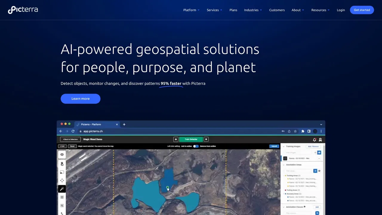


AI agents that detect, monitor and inspect anything you can see from the sky
Compare AI products across 459 workflows using traffic estimates, features, and alternatives.

“Geospatial AI”·192 results
Start over
AI agents that detect, monitor and inspect anything you can see from the sky

Satellite imagery turned into decisions with AI analytics

One API and MCP server that gives AI agents cited physical-world and geospatial data

Reality capture, robotics, and visual AI for the built world

xAI's real-time AI assistant and coding workspace powered by Grok 4.7 with live X integration.

Plot-level GeoAI intelligence for commodity supply chains

AI photo geolocalization — find where any image was taken

AI agents that research, write and publish SEO+GEO articles daily

AI rendering studio that turns sketches, photos and SketchUp, Revit or Rhino views into client-ready architectural images

The AI workspace that turns architectural sketches and 3D models into client-ready visuals

Turn PDFs, videos, web pages and recordings into structured AI mind maps
Free astrocartography maps with AI-assisted location readings

Generate, edit and visualize floor plans in your browser

Upload one room photo and see a photorealistic remodel in seconds

ISO 27001 data annotation services for AI and ML teams in regulated industries

Free online geography game — guess real photo locations and challenge friends

All-source maritime intelligence powered by Maritime AI™

One live indoor map for wayfinding, operations and security
Chat your way to mind maps, flowcharts, and slide decks on one infinite canvas

Behavior-based consumer segmentation for retail marketers
Free Airbnb analytics, STR revenue estimates and AI dynamic pricing
AI home design for interiors, exteriors, landscapes and floor plans in one place

Earth observation that turns satellite, ocean and field data into auditable decisions

Cloud AI design suite for architecture, interior, and landscape workflows