

Des agents IA qui détectent, surveillent et inspectent tout ce qui se voit du ciel

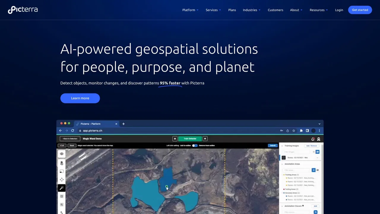
Picterra is a geospatial AI platform that turns satellite imagery into plot-level intelligence for commodity supply chains, covering crop yield risk, deforestation and EUDR compliance, carbon and regenerative agriculture monitoring.

C'est l'évaluation de notre rédaction, sur 5, et non une moyenne d'avis d'utilisateurs. Les points de vue de cette page sont rédigés par une IA à partir de ce que nous savons du produit. Ce ne sont pas des avis clients.
Selon la télémétrie OpenAITools.app vérifiée le 2026-11-11, Picterra (picterra.ch) est une plateforme d'IA indexée sous Modèles IA générant 562 visites mensuelles avec un delta de trafic mensuel de -1,67 k (-74,8 %). Son marché géographique principal est États-Unis (100 % de part de trafic), et elle fonctionne selon un modèle tarifaire Essai gratuit, Tarifs sur demande. Les principales alternatives concurrentes par volume mensuel incluent FlyPix AI (86,42 k visites/mois), EOS Data Analytics (720,76 k visites/mois), Picarta (243,37 k visites/mois).
Plateforme géospatiale au top pour la chaîne d'approvisionnement.
Suivi de déforestation très précis.
Points de vue synthétisés par IA à partir de l’inspection du site, des tarifs et du comparatif catégoriel — il ne s’agit pas d’avis clients individuels.
A single, continuously updated source of truth for every plot behind your supply, blending satellite observation, ML models, specialized datasets and your own supplier data.
Every signal links back to the plot it came from, giving you audit-ready records for individual shipments rather than country-level averages.
Track crop condition and climate stress across sourcing regions through the season so volume and pricing decisions reflect what is happening in the field.
Verify deforestation-free status plot by plot and keep shipment-level evidence ready for EUDR and other market-access regulations.
Ask questions in plain language and see the reasoning behind each answer, with conclusions that can be traced back to source data.
Picterra is a geospatial AI platform that turns satellite imagery into plot-level intelligence for commodity supply chains, covering crop yield risk, deforestation and EUDR compliance, carbon and regenerative agriculture monitoring.
Monitor crop condition and climate stress across the regions you buy from so you can adjust volumes and pricing before a shortfall hits.
Establish deforestation-free status plot by plot and assemble shipment-level documentation ahead of regulatory deadlines.
Measure agroforestry, carbon and soil-related practices across a supply base with data that stands up to external review.
Bring satellite-derived evidence into supplier conversations to make sourcing decisions with a shared, verifiable view of the ground.
Comparaison télémétrique côte à côte des outils d'IA concurrents dans la même catégorie principale
| Rang | Outil d'IA | Visites mensuelles | Croissance mensuelle | Part du trafic direct | Tarifs | Face à face |
|---|---|---|---|---|---|---|
| ● | Picterra | 562 | -74,8 % | 39% direct | Essai gratuit, Tarifs sur demande | Actuel |
| 1 | FlyPix AI | 86,42 k | +14,6 % | 28% direct | Freemium, Essai gratuit, Payant | vs FlyPix AI |
| 2 | EOS Data Analytics | 720,76 k | -16,9 % | 31% direct | Tarifs sur demande | vs EOS Data Analytics |
| 3 | Picarta | 243,37 k | +22,9 % | 21% direct | Freemium, Payant, Tarifs sur demande | vs Picarta |
| 4 | Pl@ntNet | 439,9 k | +34,9 % | 47% direct | Gratuit | vs Pl@ntNet |
| 5 | Windward Maritime AI | 128,78 k | -38 % | 54% direct | Tarifs sur demande | vs Windward Maritime AI |
| 6 | Greyparrot | 7,48 k | -13,9 % | 40% direct | Tarifs sur demande | vs Greyparrot |

Des agents IA qui détectent, surveillent et inspectent tout ce qui se voit du ciel

Des images satellitaires transformées en décisions par l'IA

Géolocalisation de photos par IA — découvrez où chaque image a été prise

Identifiez les plantes par photo et contribuez à la science de la biodiversité

Windward is a Maritime AI™ platform that fuses multi-sensor maritime data with behavioral analytics to deliver mission-grade, all-source operational intelligence for defense, government, and commercial organizations.

Analyse des déchets par IA pour la valorisation matière et l'écoconception
Inspection visuelle par IA sans code avec plus de 99 % de précision

Gratuit / Open sourceDes modèles de vision temps réel et une plateforme complète pour les entraîner, annoter et déployer

Gratuit / Open sourceVoxel51 is the data platform for physical AI, built on the open-source FiftyOne library. It helps computer vision and robotics teams search, visualize, curate, annotate, and evaluate multimodal datasets — images, video, 3D scenes, and sensor streams — so they can find where models fail and fix the data behind them.
Gestion de chaîne d’approvisionnement par IA : qualité, conformité et traçabilité

Analyse vidéo par IA pour la sécurité et les opérations proactives

Netradyne is an AI-powered fleet safety platform built around the Driver•i camera system. It analyzes 100% of drive time with edge AI, delivers real-time in-cab alerts, scores drivers with the GreenZone Score, and helps fleets reduce collisions, exonerate drivers, and lower insurance pressure.