




料金は要問い合わせ
459 種類のワークフローで、アクセス推計・機能・代替製品を比較できます。
“Geospatial data”·46 件
最初から

空から見えるあらゆる対象を検出・監視・点検するAIエージェント

建設現場のためのリアリティキャプチャ、ロボティクス、ビジュアルAI

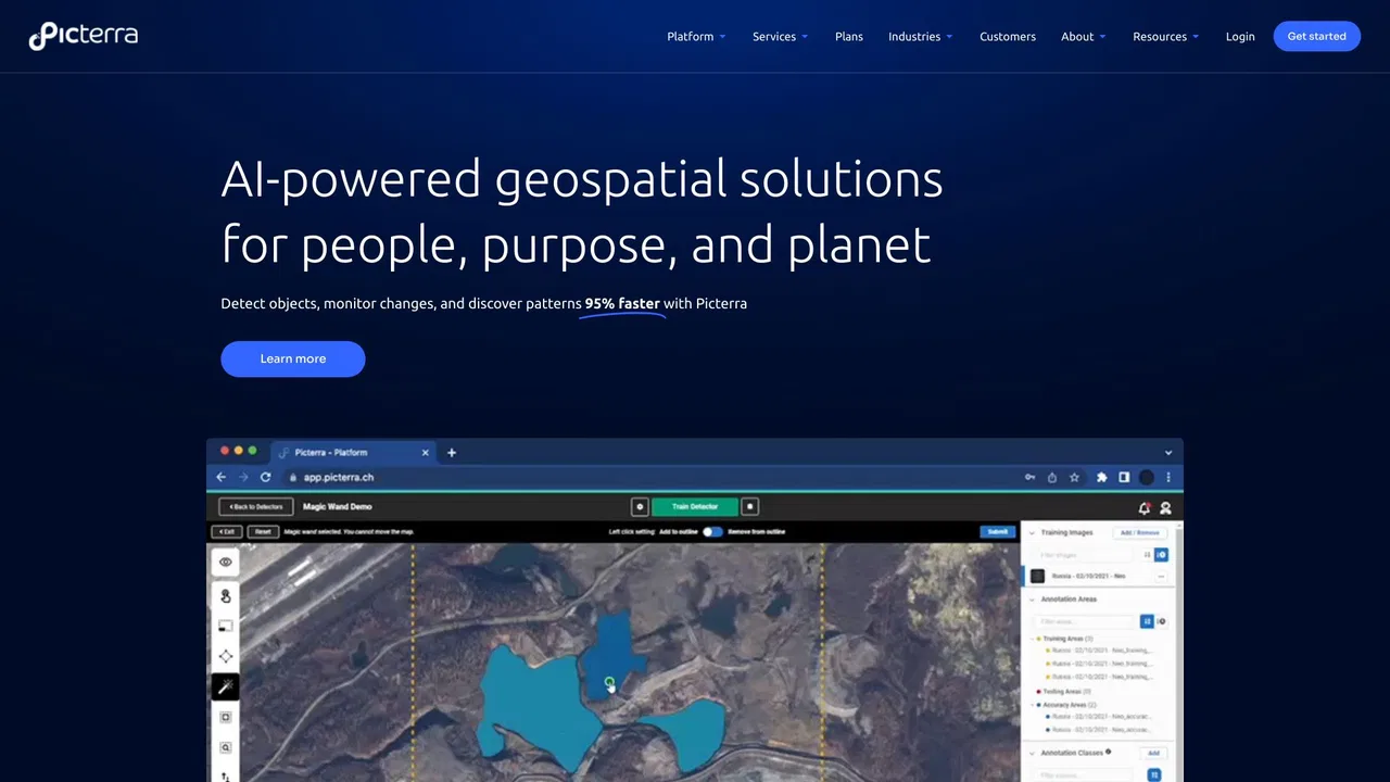
Picterra is a geospatial AI platform that turns satellite imagery into plot-level intelligence for commodity supply chains, covering crop yield risk, deforestation and EUDR compliance, carbon and regenerative agriculture monitoring.


Ultimaps is a browser-based map maker that turns spreadsheet data into styled visualizations. Pick from hundreds of pre-built maps of the world, countries, US states, counties or ZIP codes, then color regions manually or import from Excel, CSV, Google Sheets or Notion. It builds color scales and legends automatically, supports pins from addresses, and exports PNG, SVG or PDF or publishes an embeddable interactive map.
Ultimaps is a browser-based map maker that turns spreadsheet data into styled visualizations. Pick from hundreds of pre-built maps of the world, countries, US states, counties or ZIP codes, then color regions manually or import from Excel, CSV, Google Sheets or Notion. It builds color scales and legends automatically, supports pins from addresses, and exports PNG, SVG or PDF or publishes an embeddable interactive map.

スクレイピングと AI パイプラインのためのプロキシと Web データ API

Voxel51 is the data platform for physical AI, built on the open-source FiftyOne library. It helps computer vision and robotics teams search, visualize, curate, annotate, and evaluate multimodal datasets — images, video, 3D scenes, and sensor streams — so they can find where models fail and fix the data behind them.
Voxel51 is the data platform for physical AI, built on the open-source FiftyOne library. It helps computer vision and robotics teams search, visualize, curate, annotate, and evaluate multimodal datasets — images, video, 3D scenes, and sensor streams — so they can find where models fail and fix the data behind them.

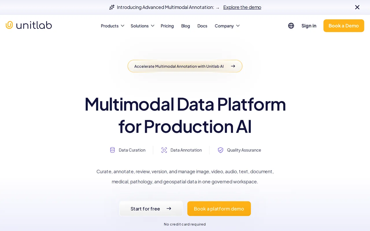
ガバナンスされた 1 つのワークスペースでマルチモーダルな学習データをキュレーション・アノテーション・品質管理

小売マーケター向けの行動ベース消費者セグメンテーション


ブラウザだけで、実在の場所を遊べるMinecraftワールドに

あなたの星図に最適な土地がわかる無料アストロカートグラフィー地図
サイトと平易な言葉で会話するだけでスクレイピング

現実世界のスキャンを 3D モデル、図面、BIM データに変える空間 AI
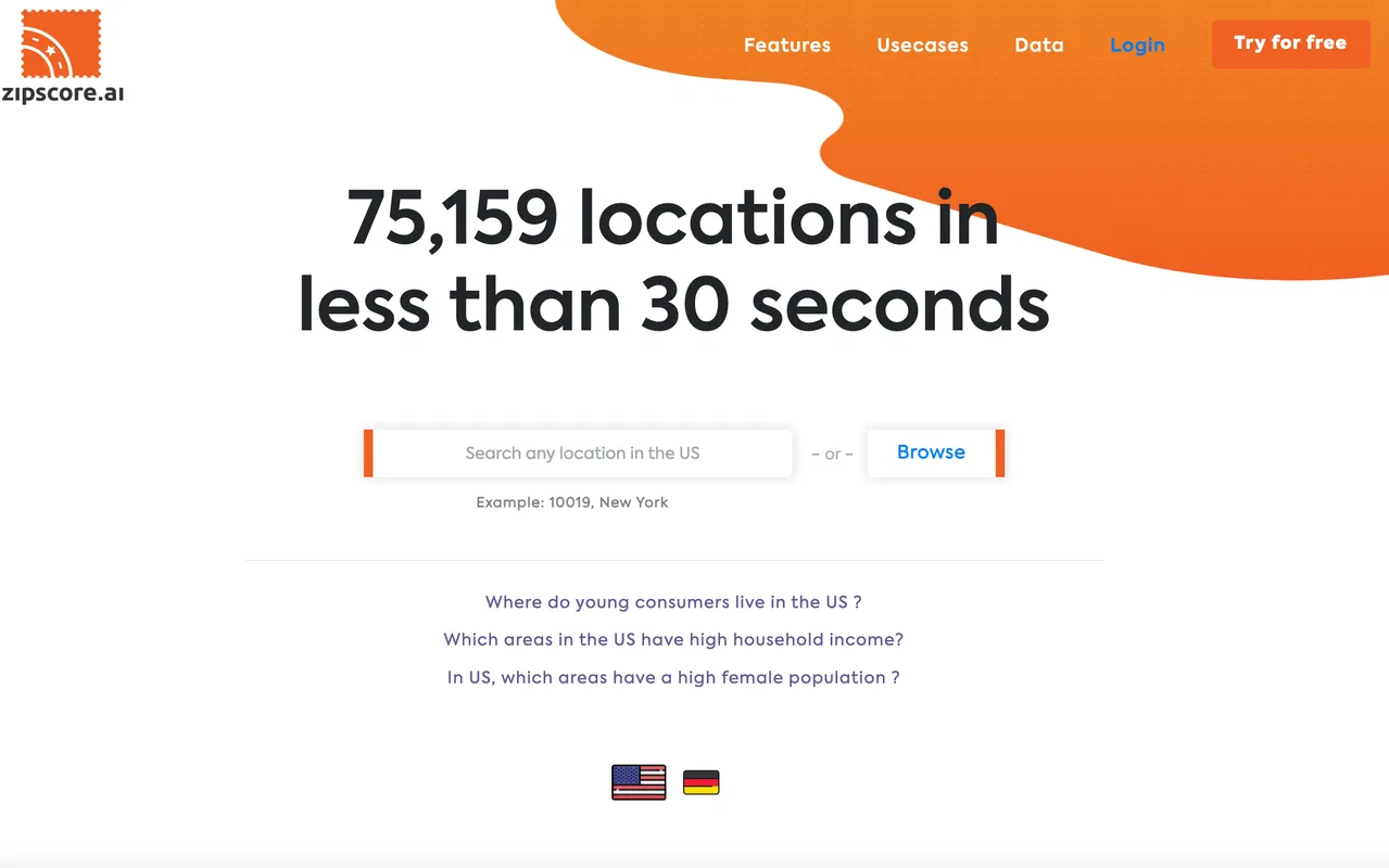
Zipscore AI is a location-data platform that helps marketers, analysts and planners find high-potential US ZIP codes by exploring demographic segments, census data and points of interest on fast, interactive maps.
Zipscore AI is a location-data platform that helps marketers, analysts and planners find high-potential US ZIP codes by exploring demographic segments, census data and points of interest on fast, interactive maps.

衛星・海洋・現地データを監査可能な意思決定に変える地球観測プラットフォーム

Googleマップの店舗データをワンクリックで抽出しCSVに書き出す

xyzt.ai is a no-code cloud platform for visualizing and analyzing large spatio-temporal datasets — traffic, mobility, maritime, and IoT data — with interactive dashboards and an AI copilot for natural-language queries.
xyzt.ai is a no-code cloud platform for visualizing and analyzing large spatio-temporal datasets — traffic, mobility, maritime, and IoT data — with interactive dashboards and an AI copilot for natural-language queries.

SEO+GEO記事をAIエージェントが毎日調査・執筆・公開

VergeSense is a workplace intelligence platform built around Meridian, its Workplace AI platform. It unifies occupancy signals from sensors, WiFi, conference systems, and booking data into live forecasts, scenario models, and automated building operations — helping real estate and facilities teams defend lease, redesign, and headcount decisions with evidence.
VergeSense is a workplace intelligence platform built around Meridian, its Workplace AI platform. It unifies occupancy signals from sensors, WiFi, conference systems, and booking data into live forecasts, scenario models, and automated building operations — helping real estate and facilities teams defend lease, redesign, and headcount decisions with evidence.