

AI agent phát hiện, giám sát và kiểm tra mọi thứ nhìn thấy từ trên cao

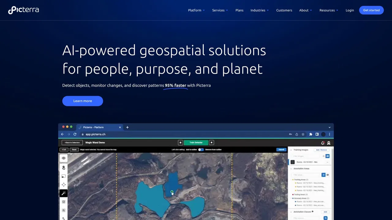
Picterra is a geospatial AI platform that turns satellite imagery into plot-level intelligence for commodity supply chains, covering crop yield risk, deforestation and EUDR compliance, carbon and regenerative agriculture monitoring.

Đây là đánh giá của ban biên tập trên thang 5, không phải trung bình điểm của người dùng. Các góc nhìn trên trang này do AI tổng hợp từ thông tin về sản phẩm, không phải nhận xét của khách hàng.
Theo dữ liệu đo lường của OpenAITools.app được xác minh vào 2026-11-11, Picterra (picterra.ch) là nền tảng AI được lập chỉ mục trong Mô hình AI, tạo ra 562 lượt truy cập hàng tháng với mức thay đổi lưu lượng so với tháng trước là -1,67 N (-74,8%). Thị trường địa lý chính của nền tảng này là Hoa Kỳ (thị phần lưu lượng 100%), và nền tảng hoạt động theo mô hình giá Dùng thử miễn phí, Liên hệ để biết giá. Các lựa chọn thay thế cạnh tranh hàng đầu theo lưu lượng hàng tháng bao gồm FlyPix AI (86,42 N lượt truy cập/tháng), EOS Data Analytics (720,76 N lượt truy cập/tháng), Picarta (243,37 N lượt truy cập/tháng).
Phân tích ảnh vệ tinh chuỗi cung ứng cực tốt.
Theo dõi tuân thủ EUDR rất hiệu quả.
Góc nhìn do AI tổng hợp dựa trên kiểm tra trang thực tế, biểu phí và chuẩn danh mục — không phải lời chứng thực của từng khách hàng cá nhân.
A single, continuously updated source of truth for every plot behind your supply, blending satellite observation, ML models, specialized datasets and your own supplier data.
Every signal links back to the plot it came from, giving you audit-ready records for individual shipments rather than country-level averages.
Track crop condition and climate stress across sourcing regions through the season so volume and pricing decisions reflect what is happening in the field.
Verify deforestation-free status plot by plot and keep shipment-level evidence ready for EUDR and other market-access regulations.
Ask questions in plain language and see the reasoning behind each answer, with conclusions that can be traced back to source data.
Picterra is a geospatial AI platform that turns satellite imagery into plot-level intelligence for commodity supply chains, covering crop yield risk, deforestation and EUDR compliance, carbon and regenerative agriculture monitoring.
Monitor crop condition and climate stress across the regions you buy from so you can adjust volumes and pricing before a shortfall hits.
Establish deforestation-free status plot by plot and assemble shipment-level documentation ahead of regulatory deadlines.
Measure agroforestry, carbon and soil-related practices across a supply base with data that stands up to external review.
Bring satellite-derived evidence into supplier conversations to make sourcing decisions with a shared, verifiable view of the ground.
So sánh dữ liệu đo lường song song giữa các công cụ AI cạnh tranh trong cùng danh mục chính
| Hạng | Công cụ AI | Lượt truy cập hàng tháng | Tăng trưởng theo tháng | Tỷ trọng truy cập trực tiếp | Giá | So sánh trực tiếp |
|---|---|---|---|---|---|---|
| ● | Picterra | 562 | -74,8% | 39% trực tiếp | Dùng thử miễn phí, Liên hệ để biết giá | Hiện tại |
| 1 | FlyPix AI | 86,42 N | +14,6% | 28% trực tiếp | Freemium, Dùng thử miễn phí, Trả phí | vs FlyPix AI |
| 2 | EOS Data Analytics | 720,76 N | -16,9% | 31% trực tiếp | Liên hệ để biết giá | vs EOS Data Analytics |
| 3 | Picarta | 243,37 N | +22,9% | 21% trực tiếp | Freemium, Trả phí, Liên hệ để biết giá | vs Picarta |
| 4 | Pl@ntNet | 439,9 N | +34,9% | 47% trực tiếp | Miễn phí | vs Pl@ntNet |
| 5 | Windward Maritime AI | 128,78 N | -38% | 54% trực tiếp | Liên hệ để biết giá | vs Windward Maritime AI |
| 6 | Greyparrot | 7,48 N | -13,9% | 40% trực tiếp | Liên hệ để biết giá | vs Greyparrot |

AI agent phát hiện, giám sát và kiểm tra mọi thứ nhìn thấy từ trên cao

Biến ảnh vệ tinh thành quyết định bằng phân tích AI

Định vị ảnh bằng AI — tìm ra nơi bất kỳ bức ảnh nào được chụp

Nhận diện thực vật bằng ảnh và góp phần vào khoa học đa dạng sinh học

Windward is a Maritime AI™ platform that fuses multi-sensor maritime data with behavioral analytics to deliver mission-grade, all-source operational intelligence for defense, government, and commercial organizations.

Phân tích chất thải bằng AI cho thu hồi vật liệu và thiết kế bao bì
Kiểm tra thị giác AI không cần mã với độ chính xác phát hiện lỗi trên 99%

Miễn phí / Mã nguồn mởMô hình thị giác thời gian thực và nền tảng trọn vẹn để huấn luyện, gán nhãn và triển khai

Miễn phí / Mã nguồn mởVoxel51 is the data platform for physical AI, built on the open-source FiftyOne library. It helps computer vision and robotics teams search, visualize, curate, annotate, and evaluate multimodal datasets — images, video, 3D scenes, and sensor streams — so they can find where models fail and fix the data behind them.
Quản lý chuỗi cung ứng bằng AI cho chất lượng, tuân thủ và truy xuất

Phân tích video AI cho an toàn và vận hành chủ động

Netradyne is an AI-powered fleet safety platform built around the Driver•i camera system. It analyzes 100% of drive time with edge AI, delivers real-time in-cab alerts, scores drivers with the GreenZone Score, and helps fleets reduce collisions, exonerate drivers, and lower insurance pressure.