免费试用,付费,定价请咨询
加载中…

根据功能和用途,为你挑选 10 款 Mappedin 的替代工具。
| 排名 | 工具和标语 | 官方域名 | 月访问量 | 月度增长 (MoM) |
|---|
| 定价模式 |
|---|
| 主要市场 |
|---|
| 评分 |
|---|
| 比较 |
|---|
| ● | Mappedin | mappedin.com | 17.4万 | -6.98万 (-28.6%) | 免费增值,定价请咨询 | 加拿大 | 4.3 | 概览 |
| 1 | DroneDeploy | dronedeploy.com | 37.92万 | -2.39万 (-5.9%) | 免费试用,付费,定价请咨询 | 美国 | 4.6 | 比较 |
| 2 | TestFit | testfit.io | 5.69万 | -9930 (-14.9%) | 付费,定价请咨询 | 美国 | 4.4 | 比较 |
| 3 | AiHouse | aihouse.com | 4.89万 | -1.66万 (-25.3%) | 免费试用,付费,定价请咨询 | 马来西亚 | 4.3 | 比较 |
| 4 | GetFloorPlan | getfloorplan.com | 1.11万 | 1683 (+17.8%) | 付费 | 越南 | 4 | 比较 |
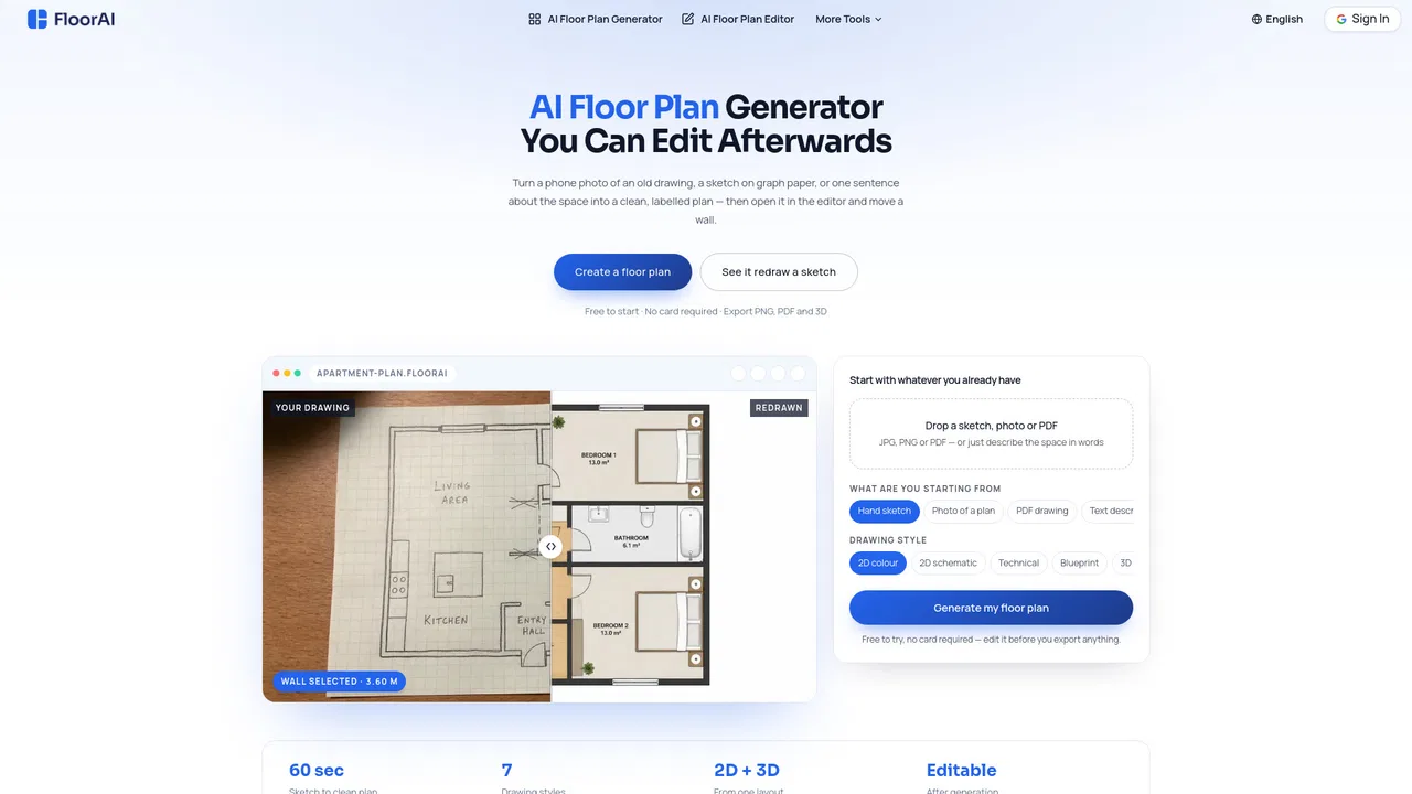
| 5 | FloorAI | floorai.ai | 2180 | -1288 (-37.1%) | 免费增值 | 德国 | 4.1 | 比较 |
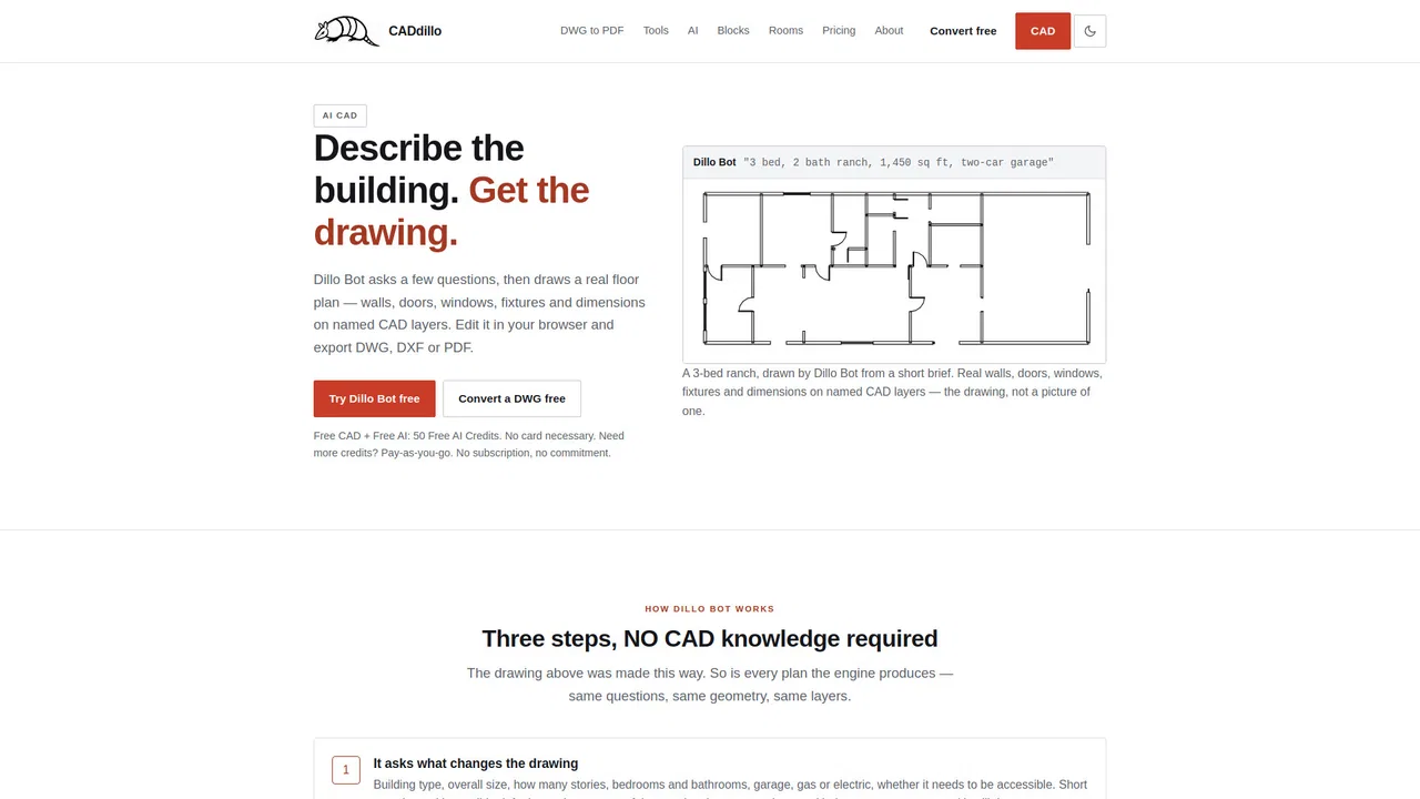
| 6 | CADdillo | caddillo.com | 1120 | -551 (-33%) | 免费增值 | 菲律宾 | 4.1 | 比较 |
| 7 | AI 户型图生成器 | floorplan.aiai.com | 737 | 438 (+146.5%) | 免费增值,付费,免费 | 白俄罗斯 | 3.9 | 比较 |
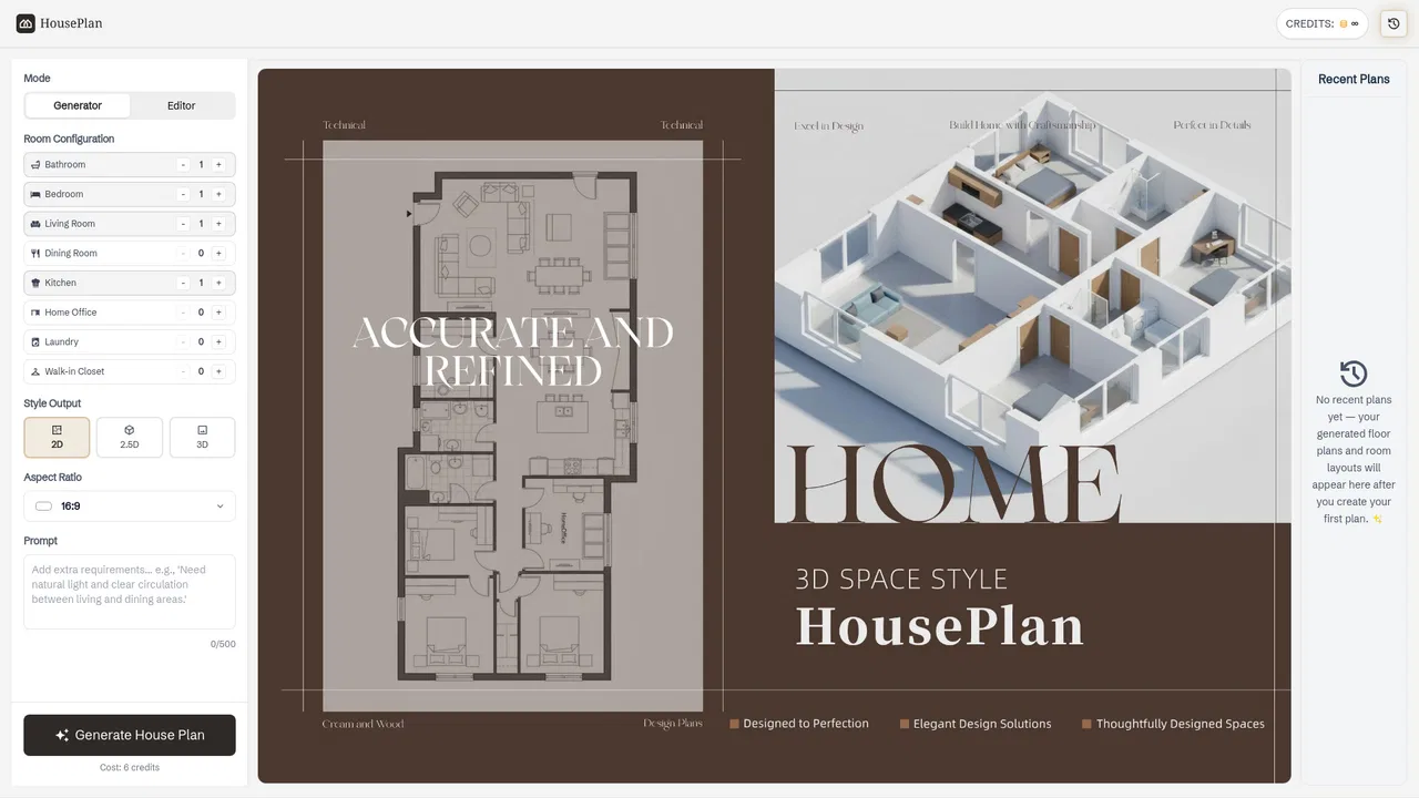
| 8 | HousePlan | houseplan.io | 2693 | 791 (+41.6%) | 免费增值 | 美国 | 4 | 比较 |
| 9 | Ultimaps | ultimaps.com | 15.17万 | -1.93万 (-11.3%) | 免费增值 | 美国 | 4.4 | 比较 |
| 10 | MapsGPT | mapsgpt.com | 5129 | 528 (+11.5%) | 免费 | 美国 | 3.9 | 比较 |
专项更强将 2D 平面图转换为交互式 3D 虚拟导览,但缺少实时室内 GPS 与导航路线规划。

专项更强Generates basic 2D and 3D layouts from text briefs, but lacks commercial indoor navigation capabilities.

专项更强Creates structured house plans from text prompts, but does not offer enterprise indoor mapping or wayfinding SDKs.
专项更强Ultimaps is a browser-based map maker that turns spreadsheet data into styled visualizations. Pick from hundreds of pre-built maps of the world, countries, US states, counties or ZIP codes, then color regions manually or import from Excel, CSV, Google Sheets or Notion. It builds color scales and legends automatically, supports pins from addresses, and exports PNG, SVG or PDF or publishes an embeddable interactive map.
专项更强Ultimaps is a browser-based map maker that turns spreadsheet data into styled visualizations. Pick from hundreds of pre-built maps of the world, countries, US states, counties or ZIP codes, then color regions manually or import from Excel, CSV, Google Sheets or Notion. It builds color scales and legends automatically, supports pins from addresses, and exports PNG, SVG or PDF or publishes an embeddable interactive map.