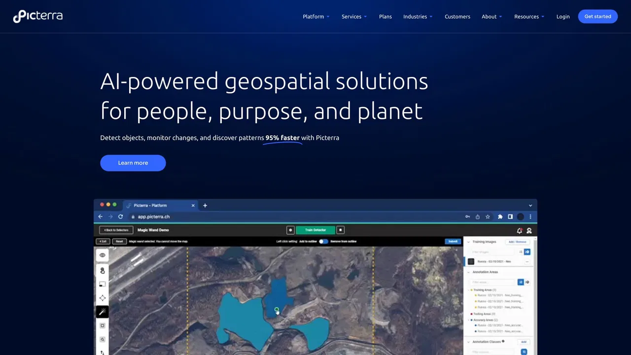
Picterra is a geospatial AI platform that turns satellite imagery into plot-level intelligence for commodity supply chains, covering crop yield risk, deforestation and EUDR compliance, carbon and regenerative agriculture monitoring.

這是編輯給出的評估,滿分 5 分,不是使用者評分的平均值。 本頁的各方觀點由 AI 根據產品資訊歸納,不是真實使用者的評價。
依據 OpenAITools.app 於 2026-11-11 查驗的觀測資料,Picterra(picterra.ch)是收錄於 AI 模型的 AI 平台,每月產生 562 次造訪,月流量變化量為 -1665(-74.8%)。其主要地理市場為美國(流量佔比 100%),並採用免費試用、需聯絡報價定價模式。依每月流量計算的主要競爭替代方案包括 FlyPix AI(每月 8.64萬次造訪),EOS Data Analytics(每月 72.08萬次造訪),Picarta(每月 24.34萬次造訪)。
衛星影像分析供應鏈的頂級工具!
對歐盟森林砍伐合規幫助很大。
以下短評基於實時網頁探查、定價機制與同類基準由 AI 綜合生成,用於呈現不同情境下的常見亮點與槽點,非實名真實用戶留言。
A single, continuously updated source of truth for every plot behind your supply, blending satellite observation, ML models, specialized datasets and your own supplier data.
Every signal links back to the plot it came from, giving you audit-ready records for individual shipments rather than country-level averages.
Track crop condition and climate stress across sourcing regions through the season so volume and pricing decisions reflect what is happening in the field.
Verify deforestation-free status plot by plot and keep shipment-level evidence ready for EUDR and other market-access regulations.
Ask questions in plain language and see the reasoning behind each answer, with conclusions that can be traced back to source data.
Picterra is a geospatial AI platform that turns satellite imagery into plot-level intelligence for commodity supply chains, covering crop yield risk, deforestation and EUDR compliance, carbon and regenerative agriculture monitoring.
Monitor crop condition and climate stress across the regions you buy from so you can adjust volumes and pricing before a shortfall hits.
Establish deforestation-free status plot by plot and assemble shipment-level documentation ahead of regulatory deadlines.
Measure agroforestry, carbon and soil-related practices across a supply base with data that stands up to external review.
Bring satellite-derived evidence into supplier conversations to make sourcing decisions with a shared, verifiable view of the ground.
同一分類下同類 AI 工具的流量並排比較
| 排名 | AI 工具 | 每月造訪次數 | 月增幅 | 直接流量占比 | 價格 | 正面對決 |
|---|---|---|---|---|---|---|
| ● | Picterra | 562 | -74.8% | 39% 直接流量 | 免費試用、需聯絡報價 | 目前產品 |
| 1 | FlyPix AI | 8.64萬 | +14.6% | 28% 直接流量 | 免費增值、免費試用、付費 | 對比 FlyPix AI |
| 2 | EOS Data Analytics | 72.08萬 | -16.9% | 31% 直接流量 | 需聯絡報價 | 對比 EOS Data Analytics |
| 3 | Picarta | 24.34萬 | +22.9% | 21% 直接流量 | 免費增值、付費、需聯絡報價 | 對比 Picarta |
| 4 | Pl@ntNet | 43.99萬 | +34.9% | 47% 直接流量 | 免費 | 對比 Pl@ntNet |
| 5 | Windward Maritime AI | 12.88萬 | -38% | 54% 直接流量 | 需聯絡報價 | 對比 Windward Maritime AI |
| 6 | Greyparrot | 7479 | -13.9% | 40% 直接流量 | 需聯絡報價 | 對比 Greyparrot |

Windward is a Maritime AI™ platform that fuses multi-sensor maritime data with behavioral analytics to deliver mission-grade, all-source operational intelligence for defense, government, and commercial organizations.
面向資源回收與包裝設計的 AI 廢棄物分析平台
瑕疵偵測精度達 99% 以上的無程式碼 AI 視覺檢測

免費 / 開源Voxel51 is the data platform for physical AI, built on the open-source FiftyOne library. It helps computer vision and robotics teams search, visualize, curate, annotate, and evaluate multimodal datasets — images, video, 3D scenes, and sensor streams — so they can find where models fail and fix the data behind them.

Netradyne is an AI-powered fleet safety platform built around the Driver•i camera system. It analyzes 100% of drive time with edge AI, delivers real-time in-cab alerts, scores drivers with the GreenZone Score, and helps fleets reduce collisions, exonerate drivers, and lower insurance pressure.