01
EOS Data AnalyticsChính thức
720,8 N/tháng
Biến ảnh vệ tinh thành quyết định bằng phân tích AI
AI cho phân tích dữ liệuĐiểm biên tập: 4.2Liên hệ để biết giá31% trực tiếp

Liên hệ để biết giá

12 công cụ thay thế FlyPix AI, được chọn theo chức năng và mục đích sử dụng.
| Hạng | Công cụ & khẩu hiệu |
|---|
| Tên miền chính thức |
|---|
| Lượt truy cập hàng tháng |
|---|
| Tăng trưởng theo tháng |
|---|
| Mô hình giá |
|---|
| Thị trường chính |
|---|
| Đánh giá |
|---|
| So sánh |
|---|
| ● | FlyPix AI | flypix.ai | 86,42 N | 11,04 N (+14,6%) | Freemium, Dùng thử miễn phí, Trả phí | Brazil | 4,3 | Hồ sơ |
| 1 | EOS Data Analytics | eos.com | 720,76 N | -146,24 N (-16,9%) | Liên hệ để biết giá | Brazil | 4,2 | So sánh |
| 2 | Picterra | picterra.ch | 562 | -1,67 N (-74,8%) | Dùng thử miễn phí, Liên hệ để biết giá | Hoa Kỳ | 4,3 | So sánh |
| 3 | Ultralytics | ultralytics.com | 793,42 N | 63,49 N (+8,7%) | Freemium | Trung Quốc | 4,6 | So sánh |
| 4 | DroneDeploy | dronedeploy.com | 379,21 N | -23,89 N (-5,9%) | Dùng thử miễn phí, Trả phí, Liên hệ để biết giá | Hoa Kỳ | 4,6 | So sánh |
| 5 | Voxel51 | voxel51.com | 117,72 N | -10,48 N (-8,2%) | Liên hệ để biết giá | Hoa Kỳ | 4,5 | So sánh |
| 6 | Averroes AI Automated Visual Inspection | averroes.ai | 14,29 N | -5,89 N (-29,2%) | Liên hệ để biết giá | Hoa Kỳ | 4,2 | So sánh |
| 7 | Viso Now | viso.ai | 111,15 N | -3,38 N (-3%) | Freemium, Liên hệ để biết giá | Hoa Kỳ | 4,4 | So sánh |
| 8 | Greyparrot | greyparrot.ai | 7,48 N | -1,21 N (-13,9%) | Liên hệ để biết giá | Hoa Kỳ | 4,4 | So sánh |
| 9 | Windward Maritime AI | windward.ai | 128,78 N | -78,99 N (-38%) | Liên hệ để biết giá | Hoa Kỳ | 4,7 | So sánh |
| 10 | Netradyne | netradyne.com | 470,4 N | -28,36 N (-5,7%) | Liên hệ để biết giá | Hoa Kỳ | 4,4 | So sánh |
| 11 | Pl@ntNet | plantnet.org | 439,9 N | 113,88 N (+34,9%) | Miễn phí | Hoa Kỳ | 4,6 | So sánh |
| 12 | Lenso.ai | lenso.ai | 1,59 Tr | -21,27 N (-1,3%) | Freemium | Hoa Kỳ | 4,2 | So sánh |
Biến ảnh vệ tinh thành quyết định bằng phân tích AI

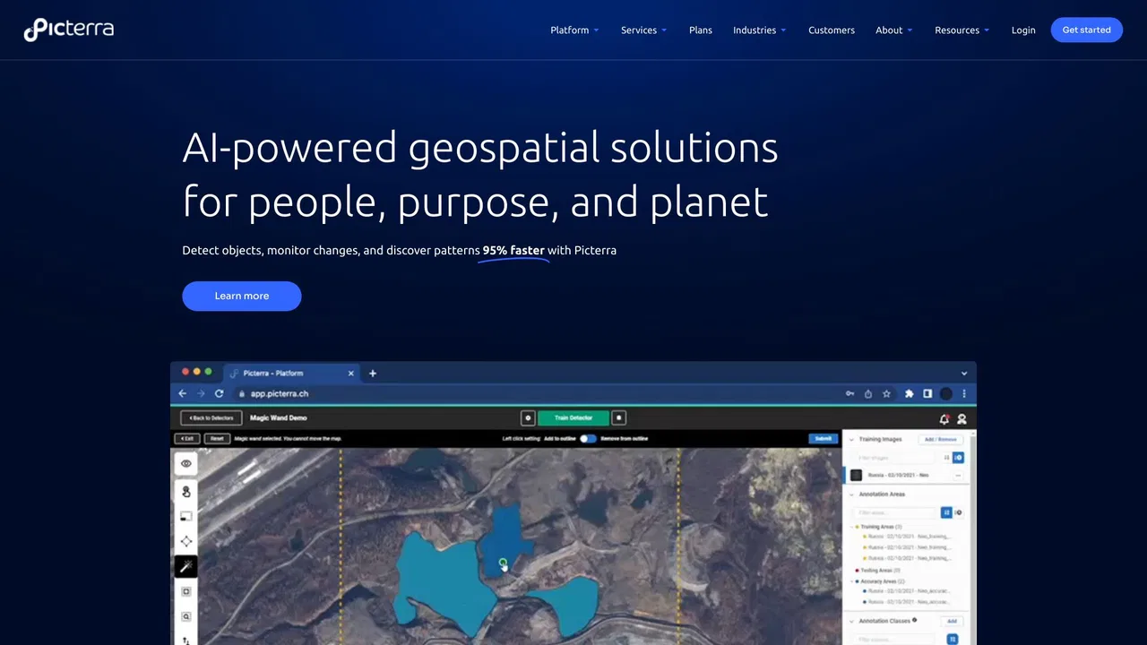
Picterra is a geospatial AI platform that turns satellite imagery into plot-level intelligence for commodity supply chains, covering crop yield risk, deforestation and EUDR compliance, carbon and regenerative agriculture monitoring.
Picterra is a geospatial AI platform that turns satellite imagery into plot-level intelligence for commodity supply chains, covering crop yield risk, deforestation and EUDR compliance, carbon and regenerative agriculture monitoring.

Miễn phí / Mã nguồn mởMô hình thị giác thời gian thực và nền tảng trọn vẹn để huấn luyện, gán nhãn và triển khai
Miễn phí / Mã nguồn mởMô hình thị giác thời gian thực và nền tảng trọn vẹn để huấn luyện, gán nhãn và triển khai

Thu thập thực tế, robot và thị giác AI cho thế giới xây dựng

Miễn phí / Mã nguồn mởVoxel51 is the data platform for physical AI, built on the open-source FiftyOne library. It helps computer vision and robotics teams search, visualize, curate, annotate, and evaluate multimodal datasets — images, video, 3D scenes, and sensor streams — so they can find where models fail and fix the data behind them.
Miễn phí / Mã nguồn mởVoxel51 is the data platform for physical AI, built on the open-source FiftyOne library. It helps computer vision and robotics teams search, visualize, curate, annotate, and evaluate multimodal datasets — images, video, 3D scenes, and sensor streams — so they can find where models fail and fix the data behind them.
Kiểm tra thị giác AI không cần mã với độ chính xác phát hiện lỗi trên 99%
Kiểm tra thị giác AI không cần mã với độ chính xác phát hiện lỗi trên 99%

Từ ý tưởng đến ứng dụng thị giác máy tính trực tiếp, theo cách tác tử
Từ ý tưởng đến ứng dụng thị giác máy tính trực tiếp, theo cách tác tử

Phân tích chất thải bằng AI cho thu hồi vật liệu và thiết kế bao bì
Phân tích chất thải bằng AI cho thu hồi vật liệu và thiết kế bao bì

Windward is a Maritime AI™ platform that fuses multi-sensor maritime data with behavioral analytics to deliver mission-grade, all-source operational intelligence for defense, government, and commercial organizations.
Windward is a Maritime AI™ platform that fuses multi-sensor maritime data with behavioral analytics to deliver mission-grade, all-source operational intelligence for defense, government, and commercial organizations.

Netradyne is an AI-powered fleet safety platform built around the Driver•i camera system. It analyzes 100% of drive time with edge AI, delivers real-time in-cab alerts, scores drivers with the GreenZone Score, and helps fleets reduce collisions, exonerate drivers, and lower insurance pressure.
Netradyne is an AI-powered fleet safety platform built around the Driver•i camera system. It analyzes 100% of drive time with edge AI, delivers real-time in-cab alerts, scores drivers with the GreenZone Score, and helps fleets reduce collisions, exonerate drivers, and lower insurance pressure.

Nhận diện thực vật bằng ảnh và góp phần vào khoa học đa dạng sinh học
Nhận diện thực vật bằng ảnh và góp phần vào khoa học đa dạng sinh học

Tìm kiếm ảnh ngược bằng AI: khuôn mặt, địa điểm, ảnh trùng
Tìm kiếm ảnh ngược bằng AI: khuôn mặt, địa điểm, ảnh trùng