




載入中…
涵蓋 459 類工作流程,透過流量估算、產品功能與替代方案協助選擇。
“Geocoding” · 圖像識別與分析·12 個結果
重新開始用 EXIF GPS 與 AI 地理定位找出照片拍攝地點



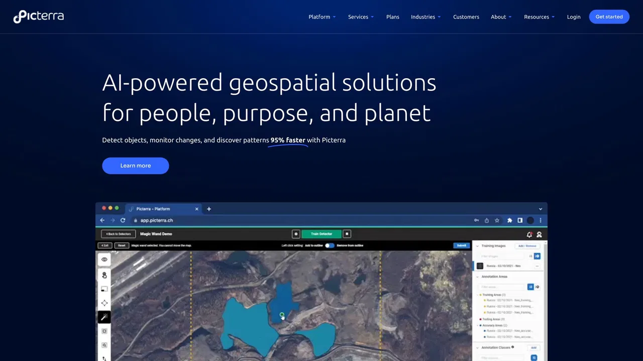
Picterra is a geospatial AI platform that turns satellite imagery into plot-level intelligence for commodity supply chains, covering crop yield risk, deforestation and EUDR compliance, carbon and regenerative agriculture monitoring.

為調查團隊與可採信報告打造的 AI 照片地理定位
免費 AI 照片定位工具——推測任意圖片的拍攝地點

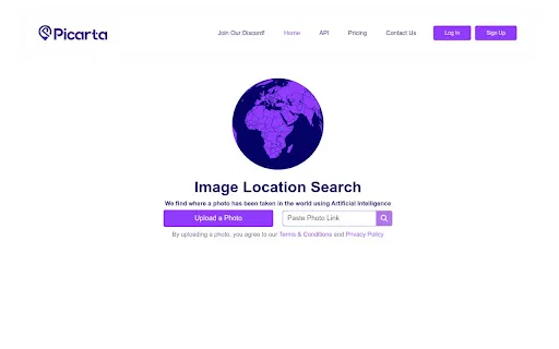
上傳一張照片,AI 預測它拍自世界何處


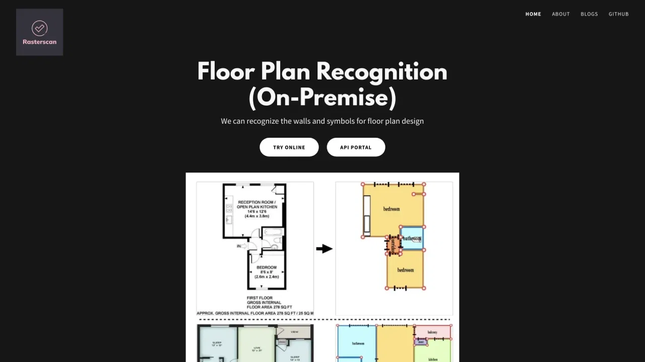
Rasterscan is a computer-vision service that automatically recognises floor plans and technical drawings. It reads walls, doors and windows from blueprints, scans and hand-sketches, converts them into structured, machine-readable geometry, and exposes the result through an API or an on-premise installation for developers and building-software teams.
Rasterscan is a computer-vision service that automatically recognises floor plans and technical drawings. It reads walls, doors and windows from blueprints, scans and hand-sketches, converts them into structured, machine-readable geometry, and exposes the result through an API or an on-premise installation for developers and building-software teams.

從受損影像與影片證據中還原遺失的細節

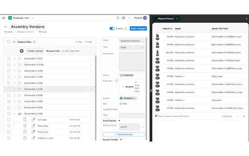
在資產工作流程中進行 3D 幾何搜尋與模型分析